Accessible version
Plain-text transcript
Generated by layout-aware native PDF text extraction. Tables, maps, columns, and symbols may not translate perfectly.
[Page 1]

Natural Diversity Data Base Areas

Description

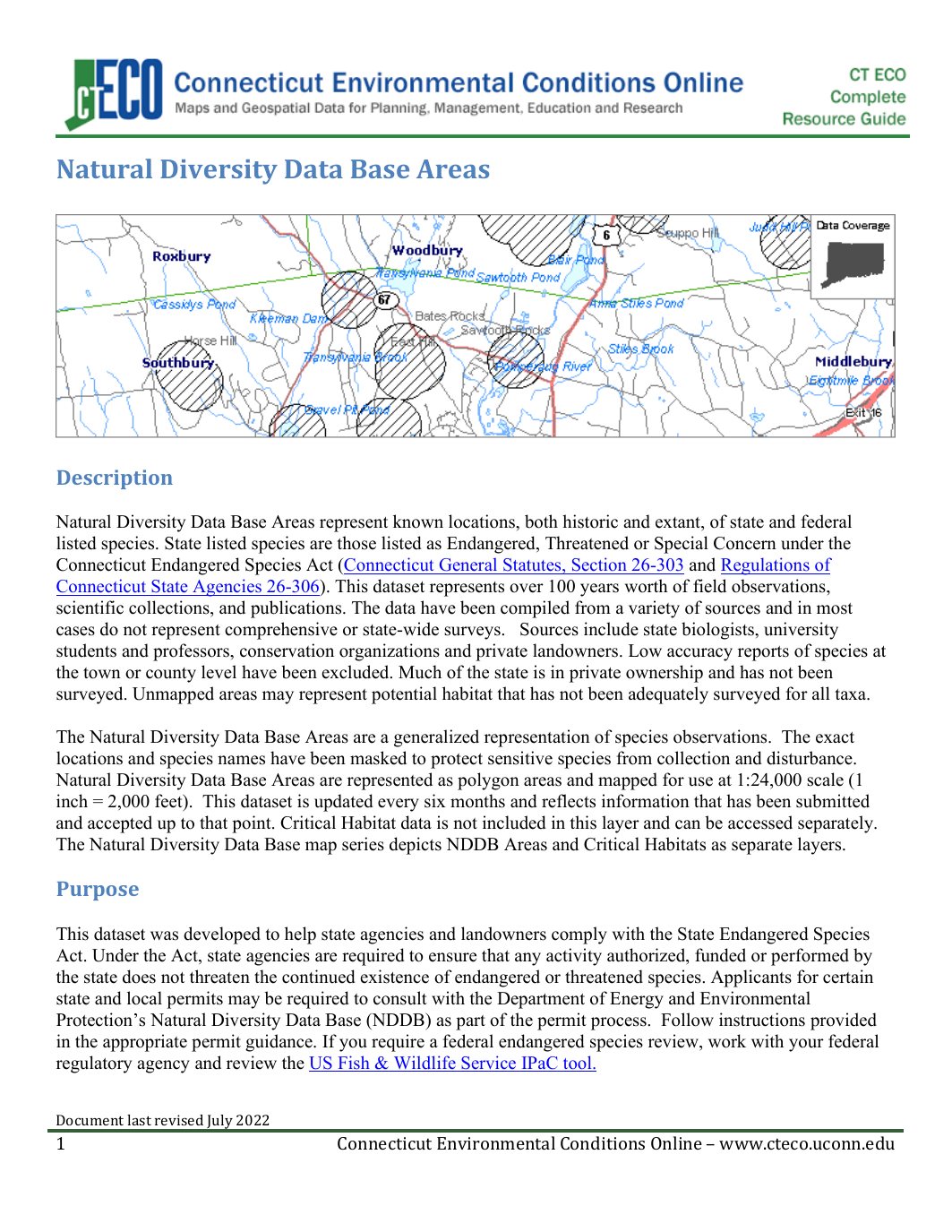
Natural Diversity Data Base Areas represent known locations, both historic and extant, of stateand federal
listed species. State listed species are those listed as End                    angered, Threatened or Special Concern under the
Connecticut Endangered Species Act (Connecticut General Statutes, Section 26-303 and                                          Regulations of
Connecticut State Agencies 26-306). This dataset represents                                                                                   over 100 years worth of field observations,
scientific collections, and publications . The data have been compiled from a variety of sources           and in most
cases do not represent comprehensive or state-                               wide surveys.   Sources include state biologists, university
students and professors, conservation organizations and private landowners. Low accuracy reports of species at
the town or county level have been excluded. Much of the state is in priv            ate ownership and has not been
surveyed. Unmapped areas may represent potential habitat that has not been adequately surveyed for all taxa                                    .

The Natural Diversity Data Base Areas are a generalized representation of species observations.  The exact
locations and species names           have been masked to protect sensitive species from collection and disturbance.
Natural Diversity Data Base Areas ar           e represented as polygon areas and mapped for use at 1:24,000 scale (1
inch = 2,000 feet).  This dataset is updated ever                                  y six months and reflects information that has been submitted
and accepted up to that point. Critical Habitat data is not included in this layer and can be accessed separately.
The Natural Diversity Data Base map                      series            depict            s NDDB Areas and Critical Habitats as separate layers.

Purpose

This dataset was developed to help state agencies and landowners comply with the State Endangered Species
Act. Under the Act, state agencies are required to ensure that any activity authorized, funded or performed by
the state does not threaten the continued existence of endangered or threatened species. Applicants for certain
state and local permits may be required to consult with the Department of Energy and Environmental
Protection’s Natural Diversity Data Base (NDDB)   as             part of the permit process.            Follow instructions provided
in the appropriate permit guidance. If you require a federal endangered s           pecies re           view, work with your federal
regulatory agency and review the US Fis           h & Wildlife Service IPaC tool.

Document last revised July 2022
1                                                    Connecticut Environmental Conditions Online – www.cteco.uconn.edu

[Page 2]

Natural Diversity Data Base Areas are          intended to be used as a pre-screening tool to identify potential impacts
to known locations of st            ate listed species. To use this data for site-          based endangered species review, locate the
project boundaries and any additionally affected areas on the map. If any part of the project is within a NDDB
Areathen the project may have a conflict with a species.                                                                          In the case of a potential conflict, an Environmental
Review Request should be made to the Natural Diversity Data Base for further review. The D                    EEP will provide
recommendations for avoiding impacts to state listed species. Additional on-site surveys may be requested of
the applicant depending on the nature and scope of a project.  For this reason, applicants should apply early in
the planning stages of a project.  Not all land use choices will impact the particular species that is present.
Often, minor modifications to a proposed plan can alleviate conflicts with state listed species.

Other uses of the data include targeting areas for conservation or site management to enhance and protect rare
species habitats.

Legend Description

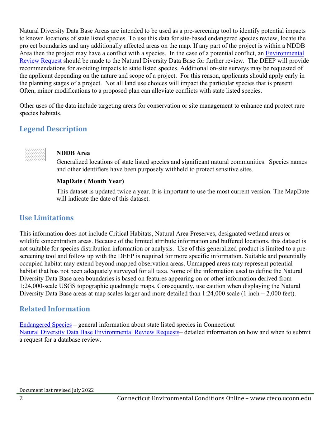
                    NDDB Area
                    Generalized locations of state listed species and significant natural communities.  Species names
                    and other identifiers have been purposely withheld to protect sensitive sites.
                    MapDate ( Month Year)

                    This dataset is updated twice a year. It is important to use the most current version. The MapDate
                    will indicate the date of this dataset.

Use Limitations

This information does not include Critical Habitats, Natural Area Preserves, des                      ignated wetland areas or
wildlife concentration areas. Because of the limited attribute information              and buffered locations, this dataset is
not suitable for species distribution information or analysis.  Use of this generalized product is limited to a pre-
screening tool and follow up with the DEEP is required for more specific information. Suitable                                                                         and potentially
occupied habitat may extend beyond mapped observation areas. Unmapped areas may repr                      esent potential
habitat that has not been adequately surveyed for al                                   l taxa. Some of the information used to define the Natural
Diversity Data Base area boundaries is based on features appearing on or other information derived from
1:24,000-scale U                                SGS topographic quadrangle maps. Consequently, use caution when displaying th                                                            e Natural
Diversity Data Base                     areas at map scales larger and more detailed than 1:24,000 scale (1 inch = 2,000 feet).

Related Information

Endangered Species – general information about state listed species i           n Connecticut
Natural Diversity Data Base             Environmental Review Requests– detailed information on how and when to submit
a request for a database review.

Document last revised July 2022
2                                                    Connecticut Environmental Conditions Online – www.cteco.uconn.edu

[Page 3]

Data Collection Date

Data collection is ongoing. The layer is updated every six months and reflects information that h                                                            as been
submitted and accepted up to that point. Refer to the Citation                                 Publication Date information in the GIS Metadata
for the most recent time period these data are currently available for.

Status

This information is updated every six months, approximately in June and December.

Map Scale

1:24,000 (1 inch = 2,000 feet)

Contact

For more on Endangered Species mapping, contact Karen Zyko, CT DEEP, W                                                                                                                 ildlife D            ivision, (860) 424-3011.
For more information on the Natural            Diversity Data Base program and environmental review reques                                ts, contact
CT DEEP, Wildlife Division, (860) 424-3011

Additional Documentation

Natural Diversity Data Base Areas                      – CT ECO Basic Data Guide
GIS Metadata           – contains technical documentat          ion describing these data and the data sources, process steps, and
standards used to collect, digitize, and store this information in a geographic information system (GIS).

Natural Diversity Data Base Area maps in PDF format are downloadable from
https://portal.ct.gov/DEEP/NDDB/Natural-              Diversity-Data-                    Base-                    Maps.

Originators

CT Department of Energy and Environmental Protection

GIS Data Download

Natural Diversity Data Base data in GIS format is downloadable fr om DEEP GIS             Data                                           .

Connect GIS and AutoCAD software to this information online using the Habitat CT ECO Map Service.

Document last revised July 2022
3                                                          Connecticut Environmental Conditions Online – www.cteco.uconn.edu